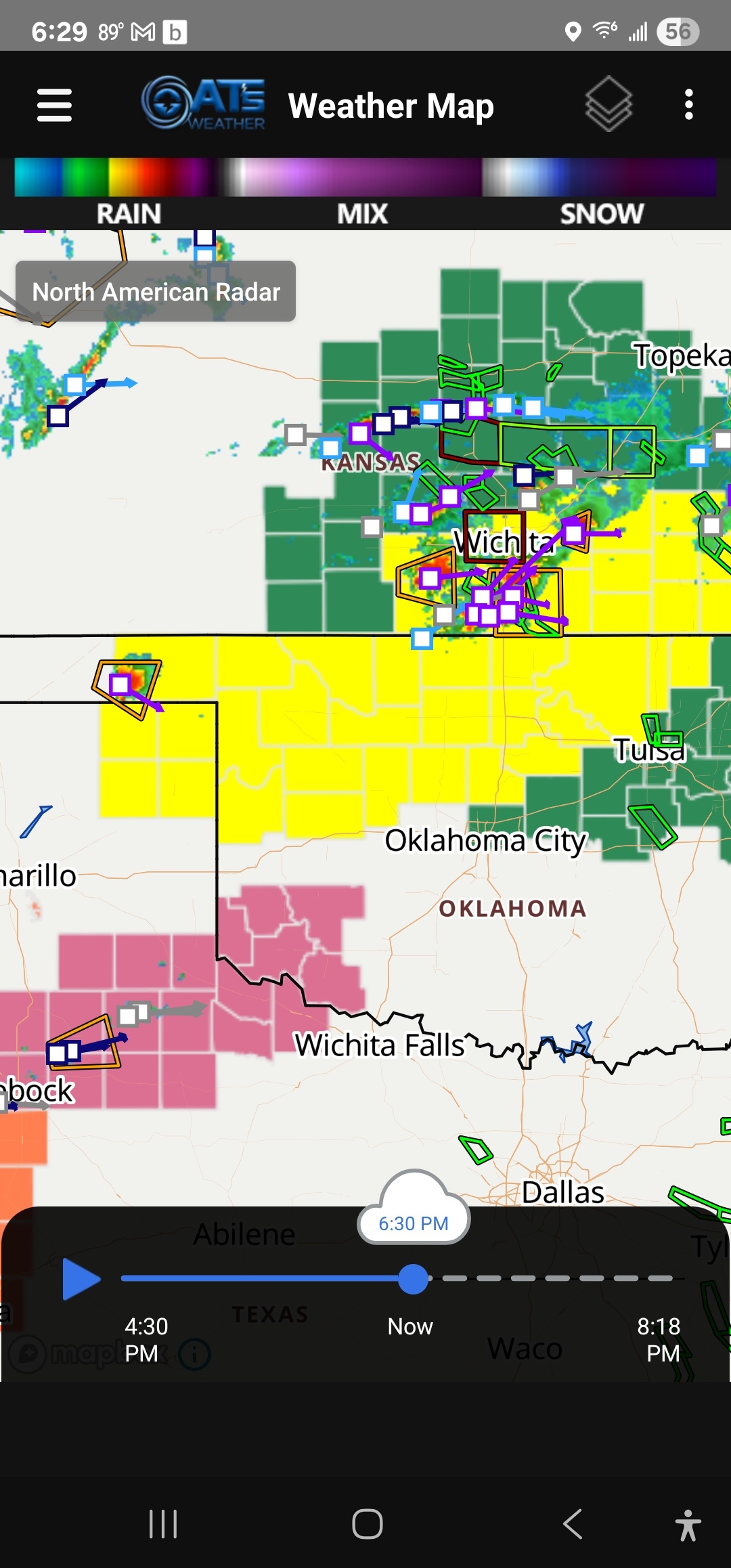
Severe Weather Update for Thursday:
It appears we'll have a Spring/Summer hybrid of a day with respect to shear and instability. This will allow for destructive storms to form in the E TX panhandle and travel eastward during the evening into C OK before weakening. Damaging wind around 90 mph and baseball size hail are expected in the strongest storms. I can't rule out a tornado, but a lack of lower altitude deep column moisture may help offset that by keeping cloud bases a little too high.
I'll go live tonight around 9:30pm to discuss and at noon on Thursday. -AT
#weather #Oklahoma #hail #damagingwind #tornado
I hope you had a wonderful Christmas holiday! 🤩🎅🎄✨🍽️💝✝️🎁
It's time to ring in the new year once again. You can put up those summer clothes again. 🤭
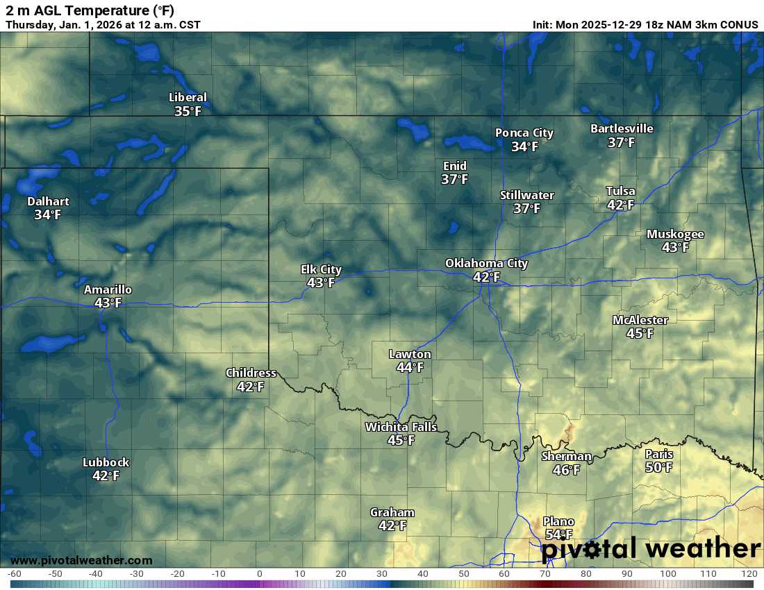
No blog this week, and the forecast looks quiet! Temperatures will be in the upper 30s to low 40s on New Year's Eve with light winds and mostly clear skies. Enjoy and see you in the new year! 😁 -AT
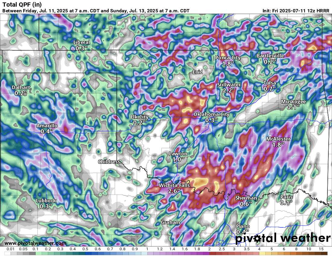
Remember that Summer is the "flash flooding and damaging wind season" across the country. While most areas stay dry, the few that do get rain can get too much. Stagnant or slow steering currents and weak wind shear contribute to the outcome.
Case in point, models are hinting at areas receiving over 7" of rain Saturday. So you might find yourself in a flood situation. Watch my lunchtime video replay for additional information, and be safe this weekend! -AT